A revolutionary approach to lake water clarity monitoring.
Professor Hicks and his team have developed an automated remote sensing technique using satellite pictures to assess and monitor key water clarity measures. The technique is significantly cheaper than on-site sampling, allowing scope for more lakes to be monitored, including those in hard to access areas. It also revealed a high level of variability lake-wide, showing how local inputs and processes can affect water clarity.
Fundamental to the system are a set of GIS scripts, which automate the preparation of the satellite image and the subsequent water clarity analysis. The GIS research work of Professor Hicks’ team is establishing the University of Waikato as a national and international leader in this field.
Professor Hicks’s finalist position also recognises his role in developing a geneticbased tool to monitor didymo.
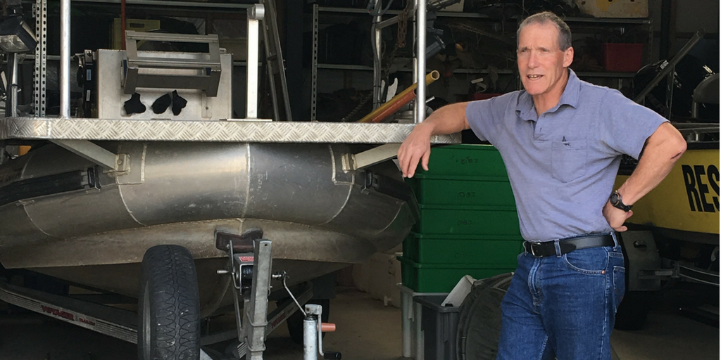
Professor Brendan Hicks
University of Waikato
2016 Waikato Regional Council Environmental Science Award Winner
A revolutionary approach to lake water clarity monitoring.
Professor Hicks and his team have developed an automated remote sensing technique using satellite pictures to assess and monitor key water clarity measures. The technique is significantly cheaper than on-site sampling, allowing scope for more lakes to be monitored, including those in hard to access areas. It also revealed a high level of variability lake-wide, showing how local inputs and processes can affect water clarity.
Fundamental to the system are a set of GIS scripts, which automate the preparation of the satellite image and the subsequent water clarity analysis. The GIS research work of Professor Hicks’ team is establishing the University of Waikato as a national and international leader in this field.
Professor Hicks’s finalist position also recognises his role in developing a genetic-based tool to monitor didymo.


