LIC has combined satellite imagery with computer modeling to take the hassle out of pasture management and improve farm productivity.
Grass is the cheapest form of feed in our pastoral farming system. Farmers need to know whether they have enough to feed their animals or whether they need to bring in extra feed or use nitrogen to grow more. This usually involves ‘walking the farm’ and using instruments (or the ‘eyeball’ method) to measure growth. LIC’s SPACE tool can accurately estimate pasture cover from satellite photos (as regularly as once a day) without taking up the farmer’s time. Over 1,000 Waikato farmers have signed up for the service since its launch in February 2018.
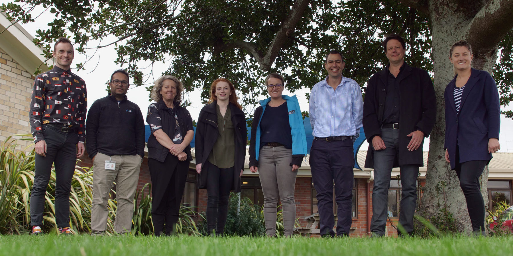
SPACE TEAM
LIC
Agricultural Science Award
LIC has combined satellite imagery with computer modeling to take the hassle out of pasture management and improve farm productivity.
Grass is the cheapest form of feed in our pastoral farming system. Farmers need to know whether they have enough to feed their animals or whether they need to bring in extra feed or use nitrogen to grow more. This usually involves ‘walking the farm’ and using instruments (or the ‘eyeball’ method) to measure growth. LIC’s SPACE tool can accurately estimate pasture cover from satellite photos (as regularly as once a day) without taking up the farmer’s time. Over 1,000 Waikato farmers have signed up for the service since its launch in February 2018.


